
Hot Water in Yandina: Local Conditions That Change the Job
Yandina was established in 1870, originally as a stopover on the route to the Gympie goldfields, and its name derives from a Kabi word referring to the first upstream crossing of the Maroochy River. Sugar cane farming thrived on the surrounding flood plains, the railway arrived in 1891, and the nearby Moreton Central sugar mill at Nambour (1897) anchored the local economy for decades. The Bruce Highway bypassed the town in July 1997, reducing through-traffic while preserving the heritage streetscape on Stevens Street.
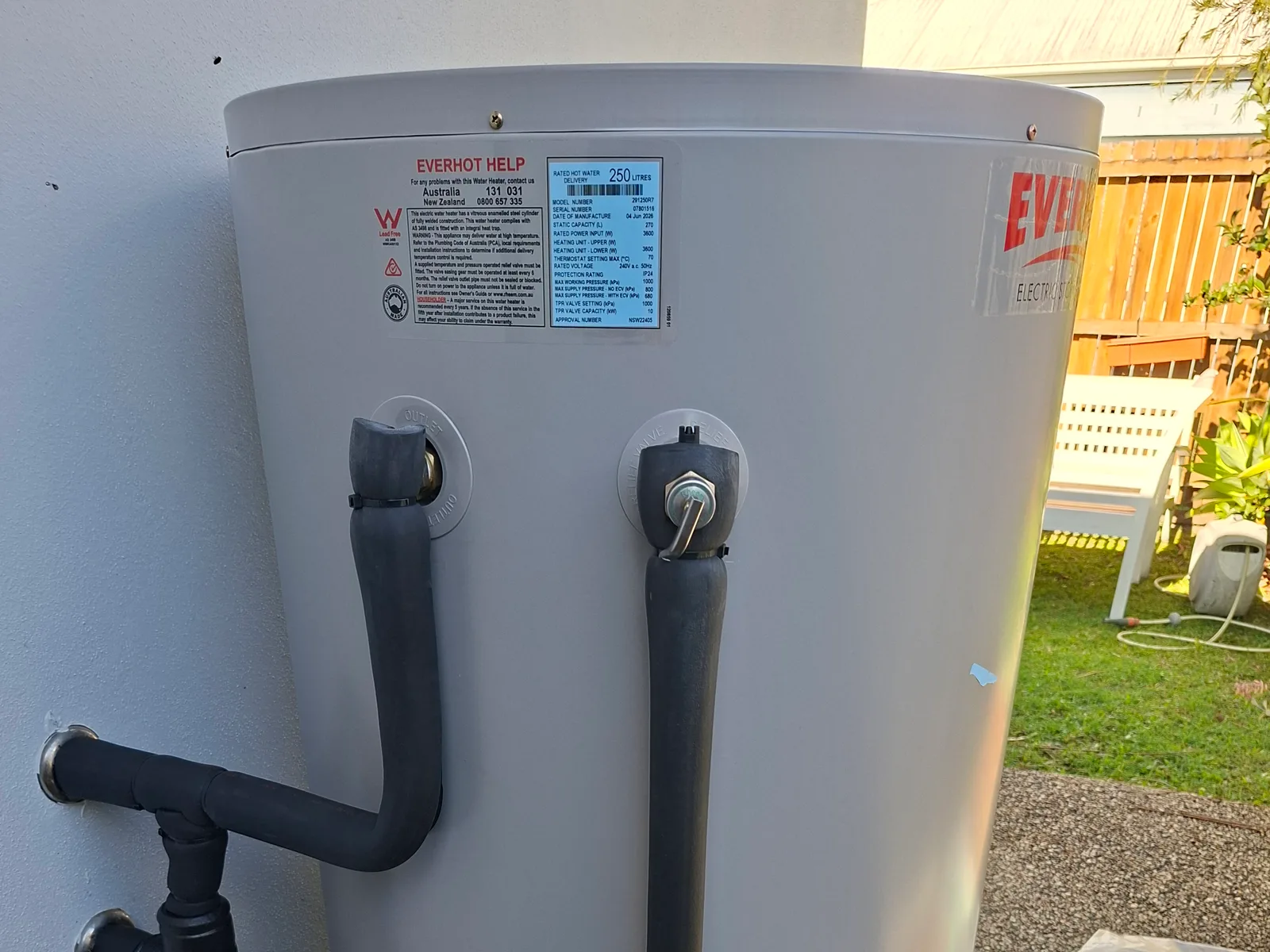
Water supply is a genuine local detail: Yandina is explicitly served by the Image Flat Water Treatment Plant, drawing from the Cooloolabin, Poona and Wappa dams on the South Maroochy River, and is not connected to the broader South East Queensland Water Grid. On rural-residential and acreage blocks around the town, rainwater tanks and bores commonly supplement that town supply, which changes anode selection and sediment management considerably compared with a straightforward town-water property.
Gas remains unchanged from the rest of the hinterland: no reticulated natural gas, so gas hot water systems run on LPG bottles. The general Maroochy River flood record, including 1893, 1951, 1974, 1992, 2011 and 2022, applies to the lower-lying stretches near the river.